Wamboin Community Association
Home
About Us
Contact Us
Community Groups
Facilities
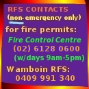
Fire Brigade
Local History
Local Services
News & Events
QPRC (Council)
The Whisper
Wamboin Maps
Miscellanea
Rural Property Addressing
Wednesday 24 June
Fire Danger Details
Current Weather
Click here for
Local Weather
Forecast Weather
Click here for
Weather Radar
Wamboin Maps
Wamboin Road Map
Locality Boundaries
Palerang LGA
SE New South Wales
Google Maps
21-09-2022
© Copyright 2026 Wamboin Community Association Inc
ABN 70 482 368 904
Disclaimer
 Wamboin Community Association
Wamboin Community Association
Wamboin Community Association


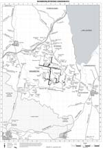 Wamboin Road Map
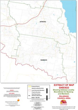 Locality Boundaries
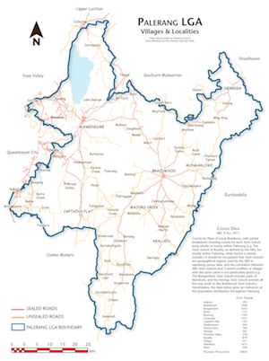 Palerang LGA
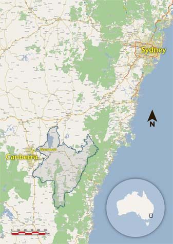 SE New South Wales
 Google Maps